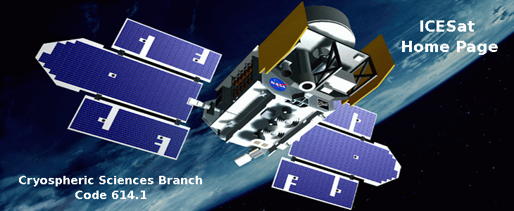
ICESAT Satellite - NASA/Goddard Space Flight Center
IMPORTANCE OF ICE MEASUREMENTS
A key category of scientific uncertainty identified by the IPCC is"Polar ice sheets which affect predictions of global sea level change".Early commencement is needed to establish a baseline on ice balance beforegreenhouse warming becomes more significant.
- It is not known whether greenland and antarctic ice sheets are growingor shrinking (uncertainty is +- 30% of mass input = +- 5 cm/yr averageice thickness = +- 2.3 mm/yr global sea level change). ICESat will measure< 1 cm/yr average ice thickness change ( < 5% of mass input and <0.4 mm/yr global sea level change).
- It is not known whether future changes in mass balance associatedwith climate warming will be positive or negative (sensitivity perhaps- 10% to + 20% change in mass input/K temperature change = +0.8 mm/yr/Kto - 1.6 mm/yr/K sea level change). ICESat should measure changes inmass balance expected for 1 K polar warming (depends on sensitivity estimate).
- Measurement of elevation changes will provide early warning of possibleinstability of west antarctic ice sheet (e.g. changes in ice-stream flow,critical ice-shelf grounding lines, ice-shelf rises, inland ice drawdown). GLAS LIDAR will directly measure cloud heights, for energy balancecalculations, and obtain unique information on polar clouds, especiallyduring the polar winter.
PANEL ON SEA LEVEL CHANGE, NATIONAL ACADEMY OF SCIENCES (1990),RECOMMENDATION 2:
Possible changes in the mass balance of the Greenland and Antarcticice sheets are fundamental gaps in our understanding and are crucial tothe quantification and refinement of sea-level forecasts.
A polar-orbiting satellite equipped with a radar (preferably a laser)altimeter should be operated on a continuing basis to measure changes involume of the Antarctic and Greenland ice sheets.
RECOMMENDATION SCAR XXIII-11
Below is a copy of the recommendation made by the SCAR delegatesin Rome, concerning satellite altimetry of the Antarctic ice sheet:
- Recognizing the importance of assessing the mass balance of theAntarctic ice sheet because of its potential effect on worldwide sea level,
- understanding that precise measurements of the surface elevationof the ice sheet offer one of the best methods of making that assessment,
- realizing that observations from satellites provide the only practicalmeans of complete or nearly complete coverage of the vast ice sheet, and
- being aware that radar altimeters do not yield good results overthe sloping and crevassed surfaces that characterize the most active, andthus the most important, portions of the ice sheet,
- SCAR wishes to express to NASA its high sense of urgency that thelaser altimeter mission scheduled as part of the EOS program be retainedand that the mission be flown at the earliest possible date.
SCIENCE
ICESAT Fact:
The ICESAT mission and the GLAS Instrument have reached an important milestone when it recorded 1,000,000,000 measurements while in orbit, on Friday November 18, 2005.
