Station List
Observations
Recent
Historical
Obs Search
Ship Obs Report
NOAA Obs
APEX
DART
MMS ADCP
TAO
DODS
HF Radar
OSMC
Dial-A-Buoy
RSS Feeds 
Email Access
Station Status
NDBC Maintenance
NDBC Platforms
Partner Platforms
Program Info
About NDBC
Met/Ocean
Moored Buoy
C-MAN
TAO
DART
VOS
CSP
IOOS DAC
Publications
Hurricane Data Plots
Mariners Weather
Log
Observing
Handbook No. 1
Science Education
FAQ
Contact Us
Links


|
 |
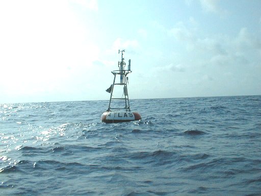
Station 15001 - Gavotte
Data from this station are not quality controlled by NDBC
| | | | | |  | | | | | | |
| 09 | 22 | 0100 | -9.95 | -9.96 | ESE | 12 | - | 30.01 | - | 72.7 | 74.5 |
| 09 | 21 | 2200 | -9.96 | -9.96 | ESE | 13 | - | 30.04 | - | 73.4 | 74.5 |
| 09 | 21 | 2100 | -9.95 | -9.96 | ESE | 12 | - | 30.02 | - | 73.2 | 74.5 |
| 09 | 21 | 2000 | -9.93 | -9.96 | E | 11 | - | 30.00 | - | 73.4 | 74.7 |
| 09 | 21 | 1600 | -9.96 | -9.96 | ESE | 10 | - | 29.96 | - | 72.9 | 74.7 |
| 09 | 21 | 1400 | -9.96 | -9.95 | ESE | 13 | - | 29.98 | - | 73.0 | 74.7 |
| 09 | 21 | 1300 | -9.96 | -9.95 | E | 11 | - | 30.01 | - | 73.0 | 74.7 |
| 09 | 21 | 1000 | -9.96 | -9.95 | ESE | 18 | - | 30.05 | - | 69.8 | 74.5 |
| 09 | 21 | 0900 | -9.95 | -9.97 | E | 16 | - | 30.04 | - | 70.2 | 74.5 |
| 09 | 21 | 0800 | -9.96 | -9.95 | SSE | 11 | - | 30.02 | - | 70.7 | 74.5 |
| 09 | 21 | 0700 | -9.96 | -9.95 | SE | 11 | - | 30.00 | - | 71.1 | 74.5 |
| 09 | 21 | 0400 | -9.96 | -9.95 | SE | 8 | - | 29.96 | - | 71.8 | 74.5 |
| 09 | 21 | 0300 | -9.96 | -9.95 | ESE | 9 | - | 29.96 | - | 72.0 | 74.5 |
| 09 | 21 | 0200 | -9.96 | -9.96 | E | 11 | - | 29.98 | - | 72.0 | 74.5 |
| 09 | 20 | 2200 | -9.96 | -9.96 | ESE | 13 | - | 30.00 | - | 72.5 | 74.5 |
| 09 | 20 | 2100 | -9.96 | -9.96 | ESE | 13 | - | 29.98 | - | 72.3 | 74.5 |
| 09 | 20 | 1900 | -9.96 | -9.97 | ESE | 14 | - | 29.95 | - | 72.5 | 74.5 |
| 09 | 20 | 1600 | -9.96 | -9.96 | ESE | 14 | - | 29.94 | - | 72.7 | 74.7 |
| 09 | 20 | 1500 | -9.96 | -9.96 | E | 14 | - | 29.94 | - | 72.5 | 74.7 |
| 09 | 20 | 1400 | -9.96 | -9.96 | ESE | 14 | - | 29.96 | - | 72.7 | 74.7 |
| 09 | 20 | 1300 | -9.96 | -9.96 | ESE | 12 | - | 30.00 | - | 69.4 | 74.7 |
| 09 | 20 | 1000 | -9.96 | -9.96 | ESE | 14 | - | 30.03 | - | 72.1 | 74.5 |
| 09 | 20 | 0900 | -9.95 | -9.96 | ESE | 13 | - | 30.02 | - | 71.4 | 74.5 |
| 09 | 20 | 0800 | -9.95 | -9.96 | ESE | 14 | - | 30.02 | - | 69.3 | 74.5 |
Description of Measurements
Links which are specific to this station are listed below:
Real Time Data in tabular form for the last forty-five days.
Historical Data & Climatic Summaries for quality controlled data for the current month, previous months, and previous years.
|