|
Partners'
Project Components
|
 Reason
for Study
Reason
for Study
The
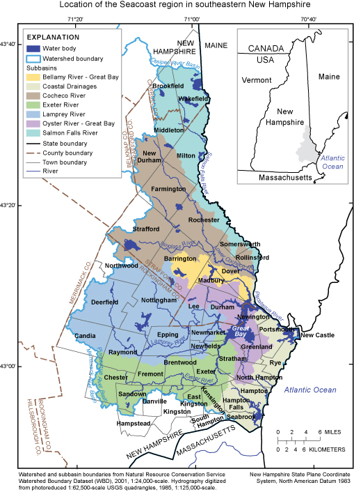
proximity of the seacoast region in Southeastern New Hampshire
to metropolitan Boston has led to a 36 percent population
increase over the past 20 years. This population increase,
and associated development, has been accompanied by an estimated
50 percent increase in the use of ground- and surface-water
resources for drinking, industrial, and other purposes during
the same period. Ensuring the
sustainability of water resources into the future will require quantification of water storage and movement in surface- and ground-water systems, and a thorough understanding of past, current,
and future water demands.
Who
are the participants?
- U.S.
Geological Survey (USGS)
- New
Hampshire Coastal Program (NHCP)
- New Hampshire Department of Environmental Services (NH DES)
- New Hampshire Geological Survey (NHGS)
- New Hampshire Water Supply Engineering Bureau (WSEB)
- Participating communities in the study area:
Brentwood, Durham, East Kingston, Exeter, Greenland, Hampton, Hampton Falls, Kensington, Lee, Madbury, Newington, North Hampton, Rye, Seabrook, Strafford, Stratham, Rockingham County
- Ground-water Project Advisory Team (GPAT)
Throughout
the study, close coordination will be maintained between the
participating agencies, communities in the study area, regional
planning agencies, public water suppliers, and others to collect data, evaluate future growth, and identify
realistic management options.
General
Approach
-
Compile existing data on wells, water levels, and aquifers
- Install and operate an enhanced monitoring network for ground
and surface water
- Determine water use and water use budget for each town
- Estimate
general water availability in each community
- Evaluate
effects of projected future growth using a ground-water
flow model for a portion of the study area
Project Timeline

|