Office of Response and Restoration Web Banner
Emergency Response Pollutants in the Environment
Serving Communities Natural Resource Restoration

Information for:
Emergency Responders
Students and Teachers
Interested Public
Research Institutions
Other Agencies

Current News
Special Note
FAQs

Catalogs of:
Publications
Software & Data Sets
Web Portals
Links
Downloads
Image Galleries
Abandoned Vessels
Drift Card Studies

About OR&R
Contact Us
Advanced Search
Site Index
Privacy Policy
Document Accessibility
small noaa logo Home | Web Portals | Interested Public

Anacostia River Watershed Database & Mapping Project IMS Web Portal

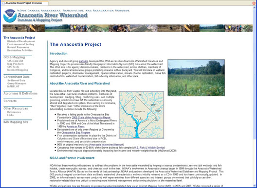
The Anacostia River Watershed Database and Mapping Project is comprised of a contaminants database, along with a GIS mapping component. The original watershed project focused on toxics and contaminated sediments, and was available in CD format.

In 2007, the project was expanded to include more GIS themes focusing on past, current, and future restoration projects. This information is served on an Internet Mapping Server website, along with an accompanying watershed webguide. In addition to the IMS web portal, the most recent Query Manager dataset on contamination is also available on this website (Query Manager data sets).

The goal of this decision-making tool is to provide the data foundation from which local, state, and federal agencies plus local interest groups could identify, prioritize, and monitor watershed management and restoration decisions.

screen image of web portal home page.

Visit the follwoing IMS guide for complete information:

Downloads
For additional perspective on the Anacotia Watershed, see these documents which include a screening level risk assessment and a management strategy for the entire watershed.
Interpretive Summary of Existing Data Relevant to Potential Contaminants
(Document format: PDF, size: 1.4 M)
Charting a Course Toward Restoration: A Toxic Chemical Management Strategy for the Anacostia River
(Document format: PDF, size: 2.3 M)
Management Strategy Appendix A: Conceptual Site Model
(Document format: PDF, size: 534.1 K)
NOAA logo