|
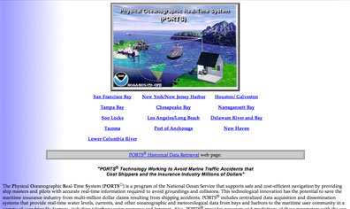
PORTS® (Physical Oceanographic Real Time System)
NOAA's Physical Oceanographic Real Time System (PORTS®) provides quality controlled real-time oceanographic data (water levels, currents, water temperature, salinity, etc.) and meteorological data (wind speed, direction, air temperature, barometric pressure, etc.) in support of safe and efficient marine navigation. PORTS® data also helps support response efforts when spills occur by providing responders with a better understanding of their operational environment and improving trajectory model forecasts.
There are currently 13 PORTS® around the nation. PORTS® is recognized as a backbone system within the Integrated Ocean Observing System (IOOS).
|