|
||
Dust and Smog in Northeast China
| ||||
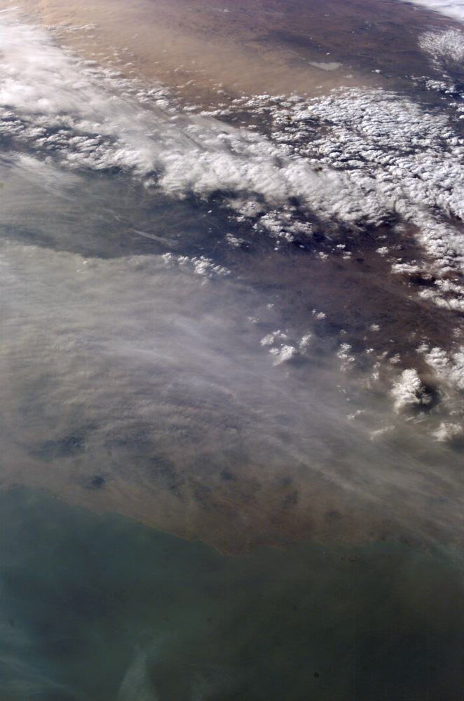
Much of the land surface is obscured in this oblique image of the North China Plain and parts of Inner Mongolia. In this image, a mass of gray smog—mainly industrial pollution and smoke from domestic burning—obscures Beijing and surrounding cities. Numerous plumes with their source points appear within the mass. Beijing suffers some of the worst air pollution in the world from these chronic sources, and the characteristic colors and textures of the smog can be easily seen through the windows of the International Space Station. The pale brown material in Bo Hai Bay, about 300 kilometers east of Beijing, is sediment from the Yellow River and other rivers. Separated from the smog mass by a band of puffy, white cumulus clouds is a light brown plume of dust. The line of white clouds has developed along the steep slope that separates the heavily populated North China Plain—the location of the largest population concentration on Earth—and the sparsely populated semi-desert plains of Inner Mongolia. Most Northern Hemisphere deserts saw dust storms in the spring of 2006, and the Gobi and Taklimakan Deserts of western China were no exception. Dust plumes originating in these deserts typically extend hundreds of kilometers eastward, regularly depositing dust on Beijing, the Korean Peninsula, and Japan. Some plumes even extend over the Pacific Ocean. In extreme cases, visible masses of Gobi-derived dust have reached North America. An astronaut handheld-camera image taken in 1996 shows a broad corridor of smog moving off the mainland out into the Pacific Ocean from China’s more southerly population center near Taiwan. Astronaut photograph ISS013-E-21250 was acquired March 2, 2006, with a Kodak 760C digital camera using a 50 mm lens, and is provided by the ISS Crew Earth Observations experiment and the Image Science & Analysis Group, Johnson Space Center. The image in this article has been cropped and enhanced to improve contrast. Lens artifacts have been removed. The International Space Station Program supports the laboratory to help astronauts take pictures of Earth that will be of the greatest value to scientists and the public, and to make those images freely available on the Internet. Additional images taken by astronauts and cosmonauts can be viewed at the NASA/JSC Gateway to Astronaut Photography of Earth. Recommend this Image to a Friend Back to: Newsroom
Also see |
View Images Index
| |||
|
Subscribe to the Earth Observatory About the Earth Observatory Contact Us Privacy Policy and Important Notices Responsible NASA Official: Lorraine A. Remer Webmaster: Goran Halusa We're a part of the Science Mission Directorate |
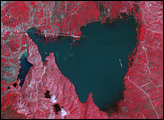
 Click here to view full image
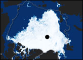