File:Map of Texas highlighting Matagorda County.svg
From Wikipedia, the free encyclopedia

Size of this preview: 631 × 600 pixels. Other resolutions: 253 × 240 pixels | 505 × 480 pixels | 808 × 768 pixels | 1,077 × 1,024 pixels.
Original file (SVG file, nominally 12,473 × 11,855 pixels, file size: 304 KB)
This is a file from the Wikimedia Commons. Information from its description page there is shown below. Commons is a freely licensed media file repository. You can help. |
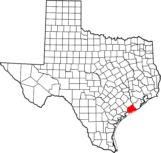
This is a locator map showing Matagorda County in Texas.
David Benbennick made this map. For more information, see Commons:United States county locator maps.
| I, the copyright holder of this work, release this work into the public domain. This applies worldwide. In some countries this may not be legally possible; if so: I grant anyone the right to use this work for any purpose, without any conditions, unless such conditions are required by law.
|
File history
Click on a date/time to view the file as it appeared at that time.
| Date/Time | Thumbnail | Dimensions | User | Comment | |
|---|---|---|---|---|---|
| current | 17:12, 12 February 2006 | | 12,473 × 11,855 (304 KB) | David Benbennick | {{subst:User:Dbenbenn/clm|county=Matagorda County|state=Texas|type=county}} |
File usage
The following pages on the English Wikipedia link to this file (pages on other projects are not listed):
- Allenhurst, Texas
- Bay City, Texas
- Blessing, Texas
- Caney, Matagorda County, Texas
- Cedar Lake, Texas
- Cedar Lane, Texas
- Collegeport, Texas
- East Matagorda Bay
- Elmaton, Texas
- Hawkinsville, Texas
- List of counties in Texas
- Markham, Texas
- Matagorda, Texas
- Matagorda County, Texas
- Matagorda Peninsula
- Midfield, Texas
- Palacios, Texas
- Pledger, Texas
- Sargent, Texas
- Turtle Creek (Matagorda County, Texas)
- Van Vleck, Texas
- Wadsworth, Texas
- User:Nyttend/County templates/TX/2
- Template:MatagordaCountyTX-geo-stub
- Template:Matagorda County, Texas
- Category:Populated places in Matagorda County, Texas
- Category:Wikipedia requested photographs in Matagorda County, Texas
Global file usage
The following other wikis use this file:
- Usage on bg.wikipedia.org
- Usage on bpy.wikipedia.org
- Usage on cs.wikipedia.org
- Usage on de.wikipedia.org
- Usage on es.wikipedia.org
- Usage on fa.wikipedia.org
- Usage on fr.wikipedia.org
- Usage on hu.wikipedia.org
- Usage on hy.wikipedia.org
- Usage on it.wikipedia.org
- Usage on ja.wikipedia.org
- Usage on la.wikipedia.org
- Usage on nds.wikipedia.org
- Usage on nl.wikipedia.org
- Usage on no.wikipedia.org
- Usage on pl.wikipedia.org
- Usage on pnb.wikipedia.org
- Usage on pt.wikipedia.org
- Usage on ro.wikipedia.org
- Usage on ru.wikipedia.org
- Usage on sh.wikipedia.org
- Usage on simple.wikipedia.org
- Usage on sq.wikipedia.org
- Usage on sr.wikipedia.org
- Usage on sv.wikipedia.org
- Usage on tr.wikipedia.org
- Usage on uk.wikipedia.org
- Usage on vi.wikipedia.org
- Usage on war.wikipedia.org
- Usage on www.wikidata.org
- Usage on zh.wikipedia.org